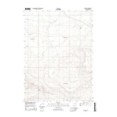
2015 Map of Pine Hill
USGS Topo · Published 2015About this map
The Shirley Mountains dominate the southwestern corner of this Carbon County landscape, where the terrain descends into the expansive drainage of the Shirley Basin. This modern survey reveals a network of remote ranching and Bureau of Land Management routes, including the Difficulty Rd and BLM-3115, which navigate the high-elevation basins and ridges. Water sources are critical features in this arid environment, marked by sites like Difficulty Spring and Little Rock Spring.
Find a feature on this map
23 named features on this map. Tap any name to fly to it.
Don’t see what you’re looking for? This feature index may not catch every label — zoom into the map to look around manually.
Map Details
Editions of this 2015 Pine Hill Map
This is the sole edition of this map. No revisions or reprints were ever made.
Other maps of this area

1953 · Fourmile Point
USGS Topo · 1:24,000

1953 · The Q Ranch
USGS Topo · 1:24,000

1953 · T E Ranch
USGS Topo · 1:24,000

1955 · Casper
USGS Topo · 1:250,000

1958 · Casper
USGS Topo · 1:250,000

1960 · Wild Irish Reservoir
USGS Topo · 1:24,000

1960 · Measel Spring Reservoir
USGS Topo · 1:24,000
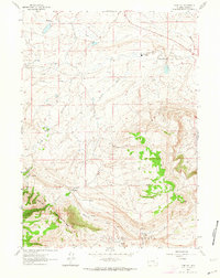
1961 · Pine Hill
USGS Topo · 1:24,000
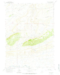
1961 · Windy Hill
USGS Topo · 1:24,000
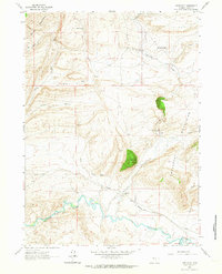
1961 · Difficulty
USGS Topo · 1:24,000