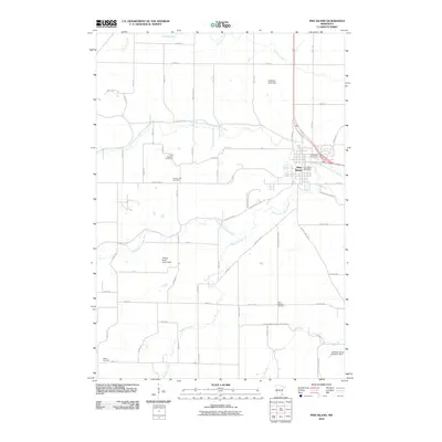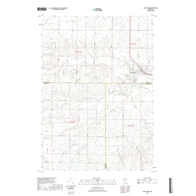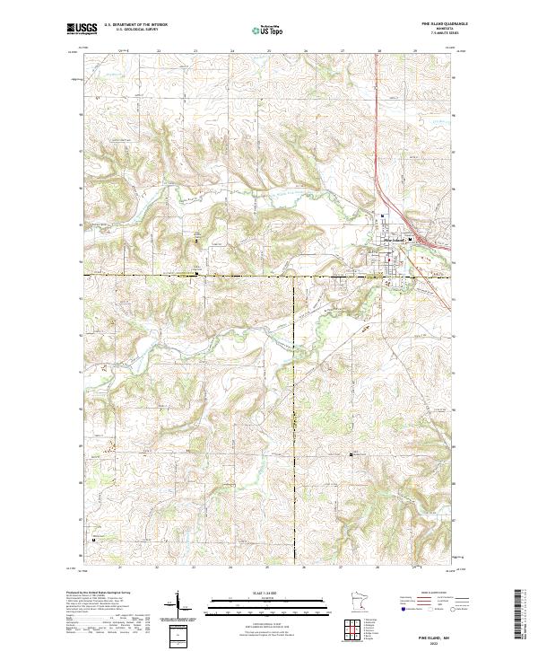
2022 Map of Pine Island
USGS Topo · Published 2022About this map
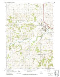
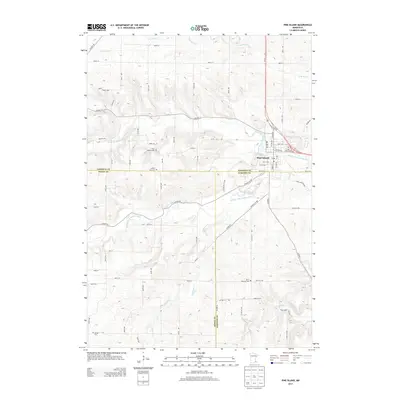
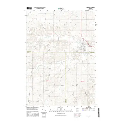
Pine Island serves as the primary hub where the borders of Goodhue, Dodge, and Olmsted counties converge. This modern landscape is defined by its complex drainage network, primarily shaped by the N Br Middle Fork Zumbro River and the Middle Fork Zumbro River. The terrain is etched with numerous smaller waterways such as Harkcom Cr, Plum Cr, and Dry Run Cr. Genealogists will find several burial grounds across the rural townships, including Pine Island Cem, Saint Michael Cem, Milton Cem, and the Free Mission Cem. The map reveals a structured grid of rural roads like CO 10 Blvd and 490th St, indicating a region long established in its agricultural and residential layout.
Find a feature on this map
98 named features on this map. Tap any name to fly to it.
Don’t see what you’re looking for? This feature index may not catch every label — zoom into the map to look around manually.
Map Details
Editions of this 2022 Pine Island Map
This is the sole edition of this map. No revisions or reprints were ever made.
Historical Maps of Pine Island Through Time
6 maps found