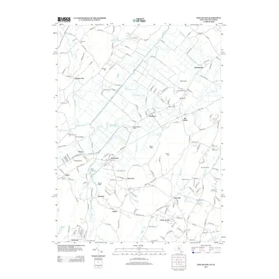
2013 Map of Pine Island
USGS Topo · Published 2013About this map
Mount Adam and Mount Eve rise above the complex network of agricultural drainage ditches that define this corner of the black dirt region. The landscape is heavily marked by its hydrologic history, with numerous man-made channels such as Pike Island Ditch, Drumgoole Ditch, and Wawayanda Channel diverting water through the lowlands to support local farming operations like Scheuermann Farms and the Pine Island Turf Nursery.
Find a feature on this map
196 named features on this map. Tap any name to fly to it.
Don’t see what you’re looking for? This feature index may not catch every label — zoom into the map to look around manually.
Map Details
Editions of this 2013 Pine Island Map
This is the sole edition of this map. No revisions or reprints were ever made.
Other maps of this area

1888 · Franklin
USGS Topo · 1:62,500

1891 · Greenwood Lake
USGS Topo · 1:62,500

1893 · Greenwood Lake
USGS Topo · 1:62,500

1894 · Franklin
USGS Topo · 1:62,500

1897 · Franklin
USGS Topo · 1:62,500

1903 · Franklin Furnace
USGS Topo · 1:62,500

1903 · Greenwood Lake
USGS Topo · 1:62,500

1906 · Port Jervis
USGS Topo · 1:62,500

1906 · Goshen
USGS Topo · 1:62,500

1908 · Goshen
USGS Topo · 1:62,500