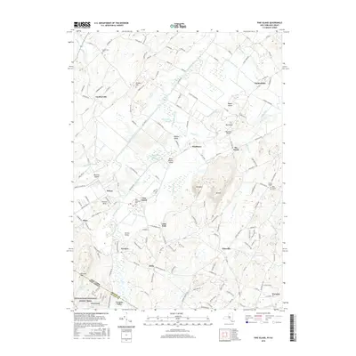
2016 Map of Pine Island
USGS Topo · Published 2016About this map
Pine Island sits at the heart of an intricate drainage network where the Wallkill River and Quaker Creek are supported by a complex system of human-made channels. This landscape, characterized by former glacial lakebed soils, is defined by productive agricultural strips accessed by roads like Celery Ave and Onion Ave. The terrain rises sharply from the flats at Mt Adam and Mt Eve, while the southern portion of the quadrangle is marked by the Appalachian National Scenic Trail crossing the state line. Genealogists will find several notable burial grounds, including Saint Stanislaus Cemetery and Saint Josephs Cemetery near the community of Wilcox. The settlement pattern follows the high ground, with historic hamlets like Gardnerville, Edenville, and Amity dotting the periphery of the fertile lowlands.
Find a feature on this map
166 named features on this map. Tap any name to fly to it.
Don’t see what you’re looking for? This feature index may not catch every label — zoom into the map to look around manually.
Map Details
Editions of this 2016 Pine Island Map
This is the sole edition of this map. No revisions or reprints were ever made.
Other maps of this area

1888 · Franklin
USGS Topo · 1:62,500

1891 · Greenwood Lake
USGS Topo · 1:62,500

1893 · Greenwood Lake
USGS Topo · 1:62,500

1894 · Franklin
USGS Topo · 1:62,500

1897 · Franklin
USGS Topo · 1:62,500

1903 · Franklin Furnace
USGS Topo · 1:62,500

1903 · Greenwood Lake
USGS Topo · 1:62,500

1906 · Port Jervis
USGS Topo · 1:62,500

1906 · Goshen
USGS Topo · 1:62,500

1908 · Goshen
USGS Topo · 1:62,500