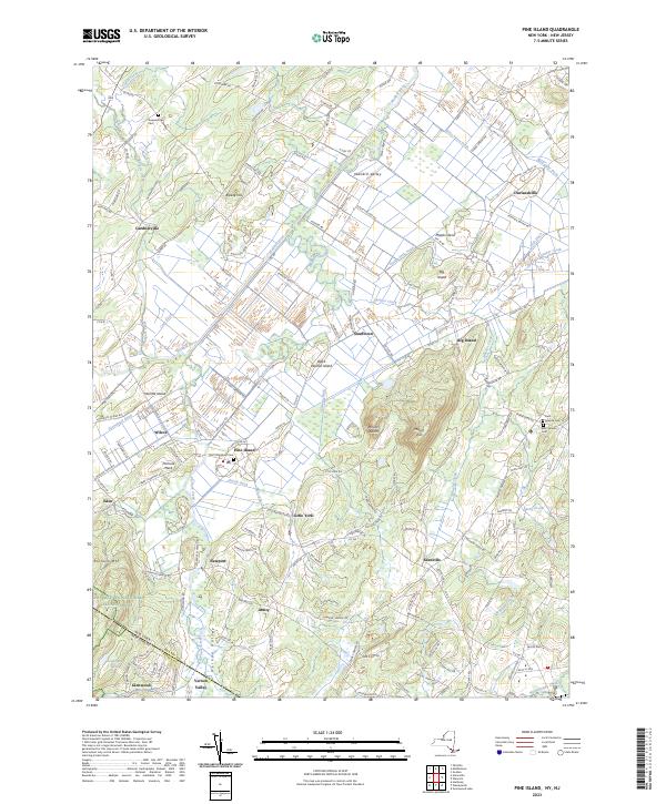
2023 Map of Pine Island
USGS Topo · Published 2023About this map
Pine Island and the surrounding black dirt region of Orange Co define this landscape, where a complex network of agricultural drainage including the Pine Island Ditch, Durlandville Ditch, and McKnight Ditch has transformed the former wetlands of the Wallkill Valley. These fertile lowlands are punctuated by dramatic topographic rises such as Mount Adam and Mount Eve, which stand as islands of higher ground above the plain. The area is dense with small, historically significant hamlets and settlements such as Gardnerville, Durlandville, and Edenville, reflecting the region's deep agricultural roots.
Find a feature on this map
168 named features on this map. Tap any name to fly to it.
Don’t see what you’re looking for? This feature index may not catch every label — zoom into the map to look around manually.
Map Details
Editions of this 2023 Pine Island Map
This is the sole edition of this map. No revisions or reprints were ever made.
Other maps of this area

1888 · Franklin
USGS Topo · 1:62,500

1891 · Greenwood Lake
USGS Topo · 1:62,500

1893 · Greenwood Lake
USGS Topo · 1:62,500

1894 · Franklin
USGS Topo · 1:62,500

1897 · Franklin
USGS Topo · 1:62,500

1903 · Franklin Furnace
USGS Topo · 1:62,500

1903 · Greenwood Lake
USGS Topo · 1:62,500

1906 · Port Jervis
USGS Topo · 1:62,500

1906 · Goshen
USGS Topo · 1:62,500

1908 · Goshen
USGS Topo · 1:62,500