
1945 Map of Pine
USGS Topo · Published 1955About this map
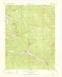
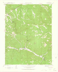
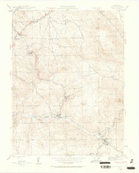
The North Fork South Platte River winds through this mid-century survey of Jefferson County, where small mountain communities and ranching outposts define the landscape. Settlement is concentrated along the river and creek valleys, notably at Buffalo Creek and Pine, where the density of structures and proximity to the water suggest established local economies. The inclusion of the Elk Creek Sch and a local Cem near Glenelk provides essential geographic markers for genealogical research in this part of the Pike National Forest.
Find a feature on this map
29 named features on this map. Tap any name to fly to it.
Don’t see what you’re looking for? This feature index may not catch every label — zoom into the map to look around manually.
Map Details
Editions of this 1945 Pine Map
4 editions found
Other maps of this area

1893 · Platte Canyon
USGS Topo · 1:125,000

1899 · West Denver
USGS Topo · 1:125,000

1945 · Indian Hills
USGS Topo · 1:31,680

1945 · Platte Canyon
USGS Topo · 1:24,000

1945 · Bailey
USGS Topo · 1:24,000

1948 · Pine
USGS Topo · 1:24,000

1948 · Platte Canyon
USGS Topo · 1:24,000

1949 · Bailey
USGS Topo · 1:24,000

1953 · Denver
USGS Topo · 1:250,000

1954 · Deckers
USGS Topo · 1:24,000