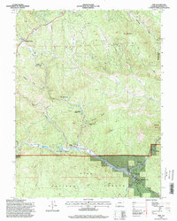
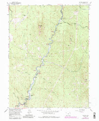
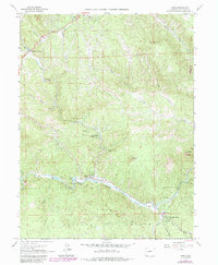
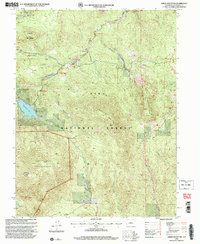
1994 Map of Pine
USGS Topo · Published 1998This historical map portrays the area of Pine in 1994, primarily covering Jefferson County. Featuring a scale of 1:24000, this map provides a highly detailed snapshot of the terrain, roads, buildings, counties, and historical landmarks in the Pine region at the time. Published in 1998, it is one of 2 known editions of this map due to revisions or reprints.
Find a feature on this map
35 named features on this map. Tap any name to fly to it.
Don’t see what you’re looking for? This feature index may not catch every label — zoom into the map to look around manually.
Map Details
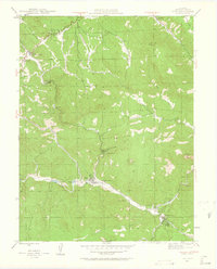
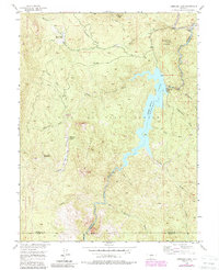
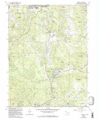
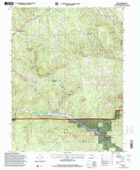
Editions of this 1994 Pine Map
2 editions found
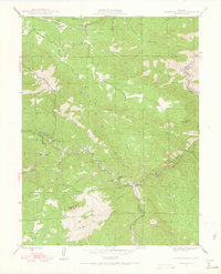
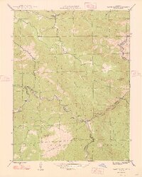
Historical Maps of Riverview Through Time
26 maps found

1906 Blackhawk
Jefferson County, CO

1941 Fort Logan
Jefferson County, CO

1942 Ralston Buttes
Jefferson County, CO

1944 Ralston Buttes
Jefferson County, CO
1945 Pine
Jefferson County, CO
1945 Platte Canyon
Jefferson County, CO

1948 Fort Logan
Jefferson County, CO

1948 Pine
Jefferson County, CO
1948 Platte Canyon
Jefferson County, CO

1948 Ralston Buttes
Jefferson County, CO
1954 Deckers
Jefferson County, CO

1954 Green Mountain
Jefferson County, CO
1956 Cheesman Lake
Jefferson County, CO

1957 Conifer
Jefferson County, CO

1957 Fort Logan
Jefferson County, CO
1965 Conifer
Jefferson County, CO
1965 Fort Logan
Jefferson County, CO
1965 Pine
Jefferson County, CO
1965 Platte Canyon
Jefferson County, CO
1965 Ralston Buttes
Jefferson County, CO
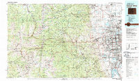
1983 Denver West
Jefferson County, CO

1994 Cheesman Lake
Jefferson County, CO

1994 Deckers
Jefferson County, CO
1994 Green Mountain
Jefferson County, CO
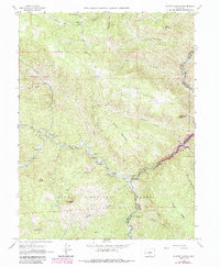
1994 Pine
Jefferson County, CO

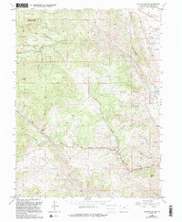
1994 Platte Canyon
Jefferson County, CO