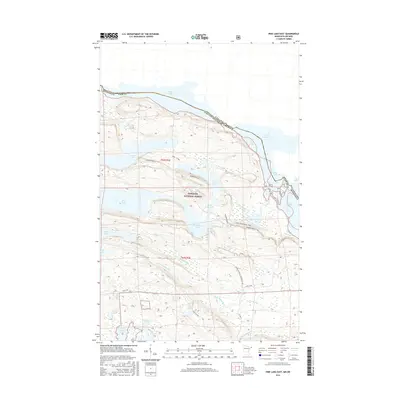
2016 Map of Pine Lake East
USGS Topo · Published 2016About this map
Superior National Forest defines this borderland landscape in Cook County, where the international boundary follows a chain of lakes from N Foul Lake to S Fowl Lake. This 2016 survey documents a remote wilderness managed for both conservation and recreational use. The historic Border Route and the S Fowl Snowmobile Trail traverse the ridgelines and valleys above the Royal River, providing access to isolated water bodies like John Lake and Little John Lake.
Find a feature on this map
33 named features on this map. Tap any name to fly to it.
Don’t see what you’re looking for? This feature index may not catch every label — zoom into the map to look around manually.
Map Details
Editions of this 2016 Pine Lake East Map
This is the sole edition of this map. No revisions or reprints were ever made.
Other maps of this area

1954 · Two Harbors
USGS Topo · 1:250,000

1957 · Two Harbors
USGS Topo · 1:250,000

1957 · Quetico
USGS Topo · 1:250,000

1958 · Two Harbors
USGS Topo · 1:250,000

1958 · Hancock
USGS Topo · 1:250,000

1959 · Northern Light Lake
USGS Topo · 1:24,000

1959 · Pine Lake East
USGS Topo · 1:24,000

1959 · Tom Lake
USGS Topo · 1:24,000

1959 · Pine Lake West
USGS Topo · 1:24,000

1959 · Fort William
USGS Topo · 1:250,000