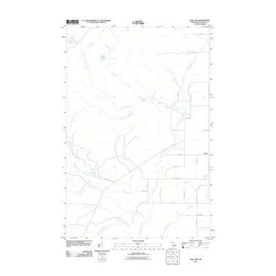
2011 Map of Pine Lake
USGS Topo · Published 2011About this map
The settlement of Tapiola sits as a primary junction in this Upper Peninsula landscape, where a network of local roads such as Donken-Tapiola Rd and Otter Lake-Tapiola Rd converge. This 2011 survey by the U.S. Geological Survey shows a terrain defined by an intricate drainage system feeding toward the Keweenaw Bay area. Significant water bodies like Thirteenmile Lake and Pine Lake anchor the northwestern portion of the map, while the Sante River and North Branch Otter River wind through the township.
Find a feature on this map
33 named features on this map. Tap any name to fly to it.
Don’t see what you’re looking for? This feature index may not catch every label — zoom into the map to look around manually.
Map Details
Editions of this 2011 Pine Lake Map
This is the sole edition of this map. No revisions or reprints were ever made.
Other maps of this area

1915 · Houghton
USGS Topo · 1:62,500

1946 · Chassell
USGS Topo · 1:24,000

1946 · South Range
USGS Topo · 1:24,000

1948 · South Range
USGS Topo · 1:24,000

1948 · Chassell
USGS Topo · 1:24,000

1954 · Graveraet River
USGS Topo · 1:24,000

1954 · Pelkie
USGS Topo · 1:62,500

1954 · Winona
USGS Topo · 1:62,500

1954 · Houghton
USGS Topo · 1:62,500

1958 · Hancock
USGS Topo · 1:250,000