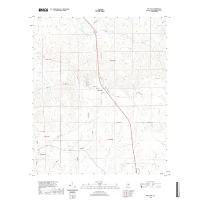
2020 Map of Pine Level
USGS Topo · Published 2020About this map
Pine Level and Currys center this corner of Montgomery County, where the landscape is defined by the headwaters of numerous creeks branching across the Alabama countryside. The drainage network includes Little Sandy Cr and the larger Olustee Cr, while smaller landmarks like Lake Pugh and Sellers Ponds dot the northern reaches near the township line. For those tracing family histories, several burial grounds are preserved on the sheet, including the distinctly named Possum Trot Cem and the Frazer-McLeod Cem west of the primary settlement.
Find a feature on this map
45 named features on this map. Tap any name to fly to it.
Don’t see what you’re looking for? This feature index may not catch every label — zoom into the map to look around manually.
Map Details
Editions of this 2020 Pine Level Map
This is the sole edition of this map. No revisions or reprints were ever made.
Other maps of this area

1953 · Montgomery
USGS Topo · 1:250,000

1953 · Andalusia
USGS Topo · 1:250,000

1953 · Dothan
USGS Topo · 1:250,000

1954 · Dothan
USGS Topo · 1:250,000

1955 · Dothan
USGS Topo · 1:250,000

1955 · Phenix City
USGS Topo · 1:250,000

1956 · Montgomery
USGS Topo · 1:250,000

1957 · Phenix City
USGS Topo · 1:250,000

1957 · Montgomery
USGS Topo · 1:250,000

1957 · Andalusia
USGS Topo · 1:250,000