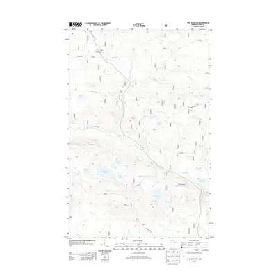
2013 Map of Pine Mountain
USGS Topo · Published 2013About this map
Gunflint Camp and a dense network of glacial lakes define this portion of the Superior National Forest in Cook County. The landscape is dominated by the prominence of Pine Mountain and the winding course of the Brule River, which is fed by numerous tributaries including Swamper Cr and Woodpile Cr. The mapping of these waterways, from Northern Light Lake to the smaller Muckwa Lake and Muma Lake, reflects a complex drainage pattern characteristic of the Arrowhead Region.
Find a feature on this map
38 named features on this map. Tap any name to fly to it.
Don’t see what you’re looking for? This feature index may not catch every label — zoom into the map to look around manually.
Map Details
Editions of this 2013 Pine Mountain Map
This is the sole edition of this map. No revisions or reprints were ever made.
Other maps of this area

1954 · Two Harbors
USGS Topo · 1:250,000

1957 · Two Harbors
USGS Topo · 1:250,000

1957 · Quetico
USGS Topo · 1:250,000

1958 · Two Harbors
USGS Topo · 1:250,000

1959 · Northern Light Lake
USGS Topo · 1:24,000

1959 · Pine Mountain
USGS Topo · 1:24,000

1959 · Lima Mountain
USGS Topo · 1:24,000

1959 · Hungry Jack Lake
USGS Topo · 1:24,000

1959 · Pine Lake West
USGS Topo · 1:24,000

1959 · Crocodile Lake
USGS Topo · 1:24,000