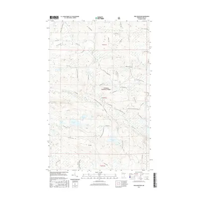
2016 Map of Pine Mountain
USGS Topo · Published 2016About this map
Superior National Forest encompasses this wilderness area in Cook County, where a dense network of water and trails defines the landscape. The Brule River and its southern branch, the South Brule River, flow through a territory punctuated by dozens of named water bodies including Northern Light Lake, Musquash Lake, and Pistol Lake. This 2016 survey details the modern recreational infrastructure of the region, specifically the Gunflint Trails Snowmobile routes and numerous forest spurs like the Greenwood Lake Spur D. High ground is marked by Pine Mountain and Blueberry Hill, while the historic Gunflint to Grand Portag Trail offers a glimpse into long-established transit corridors through the woods. The map serves as a contemporary guide to the complex hydrography of the Minnesota Arrowhead, where small lakes like Muckwa Lake and Lullaby Lake are connected by seasonal creeks and specialized forest access roads.
Find a feature on this map
53 named features on this map. Tap any name to fly to it.
Don’t see what you’re looking for? This feature index may not catch every label — zoom into the map to look around manually.
Map Details
Editions of this 2016 Pine Mountain Map
This is the sole edition of this map. No revisions or reprints were ever made.
Other maps of this area

1954 · Two Harbors
USGS Topo · 1:250,000

1957 · Two Harbors
USGS Topo · 1:250,000

1957 · Quetico
USGS Topo · 1:250,000

1958 · Two Harbors
USGS Topo · 1:250,000

1959 · Northern Light Lake
USGS Topo · 1:24,000

1959 · Pine Mountain
USGS Topo · 1:24,000

1959 · Lima Mountain
USGS Topo · 1:24,000

1959 · Hungry Jack Lake
USGS Topo · 1:24,000

1959 · Pine Lake West
USGS Topo · 1:24,000

1959 · Crocodile Lake
USGS Topo · 1:24,000