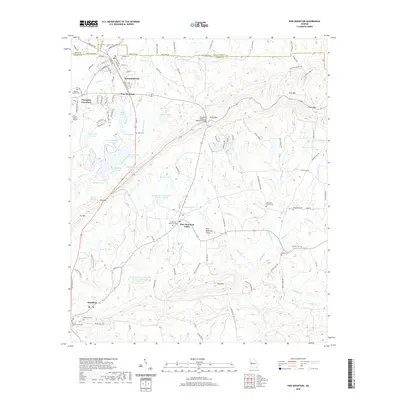
2020 Map of Pine Mountain
USGS Topo · Published 2020About this map
The town of Hamilton and the neighboring communities of Pine Mountain Valley and Mountainbrook define the settlement patterns of this Harris County landscape. Centered around the ridges of Pine Mtn and Oak Mtn, the area is characterized by numerous small lakes and reservoirs, including Lake Delano and the bird-named chain of Mockingbird Lake, Whippoorwill Lake, and Bobolink Lake. For those researching local history, the map provides precise locations for many small burial grounds, such as Roosevelt Memorial Cem and Bethlehem Church Cem. Infrastructure such as the Franklin D Roosevelt Memorial Bridge and the Harris County Airport connect these communities, while the Harris County Courthouse serves as the civic anchor in Hamilton. The terrain is marked by significant gaps like Hog Gap and Kings Gap, which have historically dictated the routes of local thoroughfares like Hines Gap Rd and Kings Gap Rd.
Find a feature on this map
137 named features on this map. Tap any name to fly to it.
Don’t see what you’re looking for? This feature index may not catch every label — zoom into the map to look around manually.
Map Details
Editions of this 2020 Pine Mountain Map
This is the sole edition of this map. No revisions or reprints were ever made.
Other maps of this area

1907 · Talbotton
USGS Topo · 1:125,000

1934 · Warm Springs
USGS Topo · 1:62,500

1936 · Warm Springs
USGS Topo · 1:62,500

1950 · Mulberry Grove
USGS Topo · 1:24,000

1950 · Waverly Hall
USGS Topo · 1:24,000

1950 · Cataula
USGS Topo · 1:24,000

1950 · Talbotton
USGS Topo · 1:62,500

1950 · Ellerslie
USGS Topo · 1:62,500
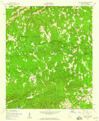
1955 · Mulberry Grove
USGS Topo · 1:24,000
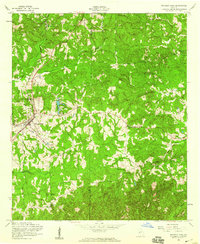
1955 · Waverly Hall
USGS Topo · 1:24,000
Featured Places
- Pine Mountain, GA
- Hamilton, GA
- Pine Mountain Valley, GA
- Champion Crossroad, GA
- Mountainbrook, Pine Mountain