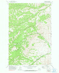
1971 Map of Pine Mtn.
USGS Topo · Published 1980About this map
Pine Mtn Lookout Tower stands as a primary landmark in this upland landscape within the Yakima Indian Reservation, surveyed during the early 1970s. The terrain is defined by complex water management and high-altitude infrastructure, including the John Cox Ditch and several mineral wells and springs. Evidence of early habitation and resource extraction is visible through labeled ruins and a quarry located near Bear Canyon. The hydrology of the region is centered on the North Fork and South Fork Ahtanum Creek, while the Sedge Ridge and Antanum Ridge dominate the southern portion of the quadrangle. Transportation is limited to a network of jeep trails and the Shaw Knox Rd, reflecting the remote and specialized nature of this mountainous area.
Find a feature on this map
30 named features on this map. Tap any name to fly to it.
Don’t see what you’re looking for? This feature index may not catch every label — zoom into the map to look around manually.
Map Details
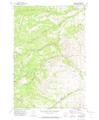
Editions of this 1971 Pine Mtn. Map
2 editions found
Other maps of this area

1899 · Ellensburg
USGS Topo · 1:125,000

1901 · Ellensburg
USGS Topo · 1:125,000

1902 · Mount Aix
USGS Topo · 1:125,000

1904 · Mt Aix
USGS Topo · 1:125,000

1904 · Mount Adams
USGS Topo · 1:125,000

1907 · Mount Adams
USGS Topo · 1:125,000

1937 · White Swan
USGS Topo · 1:125,000

1950 · Yakima
USGS Topo · 1:250,000

1957 · Yesmowit Canyon
USGS Topo · 1:24,000

1958 · Fort Simcoe
USGS Topo · 1:62,500