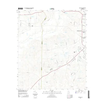
2014 Map of Pine Park
USGS Topo · Published 2014About this map
The Ochlockonee River defines much of the landscape in this area between Thomas and Grady counties, winding through a region characterized by large traditional estates and early twentieth-century agriculture. Significant tracts such as Greenwood Plantation and Long Pines Plantation dominate the eastern half of the map, illustrating the land-use patterns common in this part of Georgia. The small settlement of Pine Park serves as a local focal point near the western boundary, supported by the Pine Park Cem and Pierce Chapel Cem.
Find a feature on this map
84 named features on this map. Tap any name to fly to it.
Don’t see what you’re looking for? This feature index may not catch every label — zoom into the map to look around manually.
Map Details
Editions of this 2014 Pine Park Map
This is the sole edition of this map. No revisions or reprints were ever made.
Other maps of this area

1954 · Valdosta
USGS Topo · 1:250,000

1954 · Tallahassee
USGS Topo · 1:250,000

1956 · Cairo
USGS Topo · 1:62,500

1956 · Metcalf
USGS Topo · 1:24,000

1957 · Beachton
USGS Topo · 1:24,000

1957 · Miccosukee NE
USGS Topo · 1:24,000

1957 · Thomasville
USGS Topo · 1:62,500

1958 · Valdosta
USGS Topo · 1:250,000

1959 · Tallahassee
USGS Topo · 1:250,000

1959 · Valdosta
USGS Topo · 1:250,000