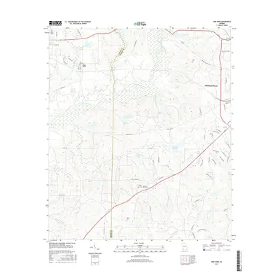
2017 Map of Pine Park
USGS Topo · Published 2017About this map
The Ochlockonee River meanders across this South Georgia landscape, defining the transition between the rolling uplands of Thomasville and the agricultural settlement of Pine Park. This 2017 survey reveals a region deeply tied to its landed history, characterized by large estates and family-named landmarks. Numerous small cemeteries are preserved throughout the area, including the Pebble Hill Cem Pebble Hill Workers Cem, Pierce Chapel Cem, and Sinkola Cem, which serve as vital touchpoints for local genealogical research.
Find a feature on this map
70 named features on this map. Tap any name to fly to it.
Don’t see what you’re looking for? This feature index may not catch every label — zoom into the map to look around manually.
Map Details
Editions of this 2017 Pine Park Map
This is the sole edition of this map. No revisions or reprints were ever made.
Other maps of this area

1954 · Valdosta
USGS Topo · 1:250,000

1954 · Tallahassee
USGS Topo · 1:250,000

1956 · Cairo
USGS Topo · 1:62,500

1956 · Metcalf
USGS Topo · 1:24,000

1957 · Beachton
USGS Topo · 1:24,000

1957 · Miccosukee NE
USGS Topo · 1:24,000

1957 · Thomasville
USGS Topo · 1:62,500

1958 · Valdosta
USGS Topo · 1:250,000

1959 · Tallahassee
USGS Topo · 1:250,000

1959 · Valdosta
USGS Topo · 1:250,000