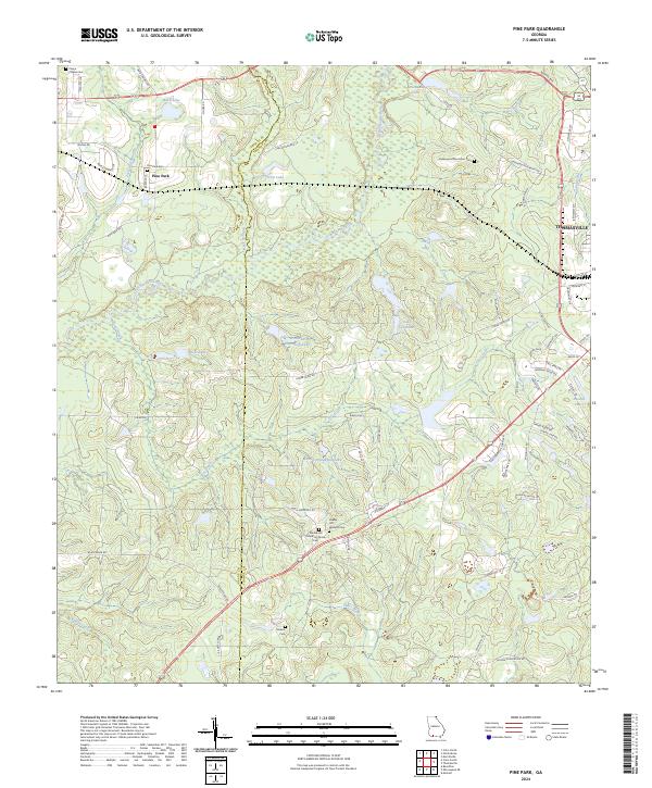
2024 Map of Pine Park
USGS Topo · Published 2024About this map
The Ochlockonee River flows through this corner of Southwest Georgia, carving a wide valley between the settlements of Pine Park and the western outskirts of Thomasville. The landscape is defined by its historic landholdings and extensive plantation grounds, which preserve a unique genealogy through several distinct burial sites. Beyond the primary Pine Park Cem, the area contains several smaller, private grounds including the Greenwood Plantation Cem and the Pebble Hill Plantation Family Cem. Most notably, the Pebble Hill Workers Cem reflects the social and labor history of these large estates. Significant water bodies such as Melrose Plantation Lake and Winstead Plantation Lake suggest a long history of land management and water control in the region. The boundary between Grady and Thomas counties bisects the western half of the map, following a series of straight-line surveyor marks across Barnetts Creek and Lees Creek.
Find a feature on this map
70 named features on this map. Tap any name to fly to it.
Don’t see what you’re looking for? This feature index may not catch every label — zoom into the map to look around manually.
Map Details
Editions of this 2024 Pine Park Map
This is the sole edition of this map. No revisions or reprints were ever made.
Historical Maps of Thomasville Through Time
11 maps found
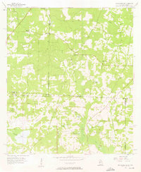
1956 Metcalf
Thomas County, GA
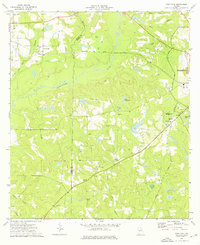
1957 Miccosukee NE
Thomas County, GA
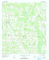
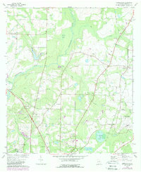
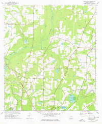
1974 Pine Park
Thomas County, GA
1975 Merrillville
Thomas County, GA
1977 Patten
Thomas County, GA
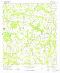
1978 Merrillville
Thomas County, GA
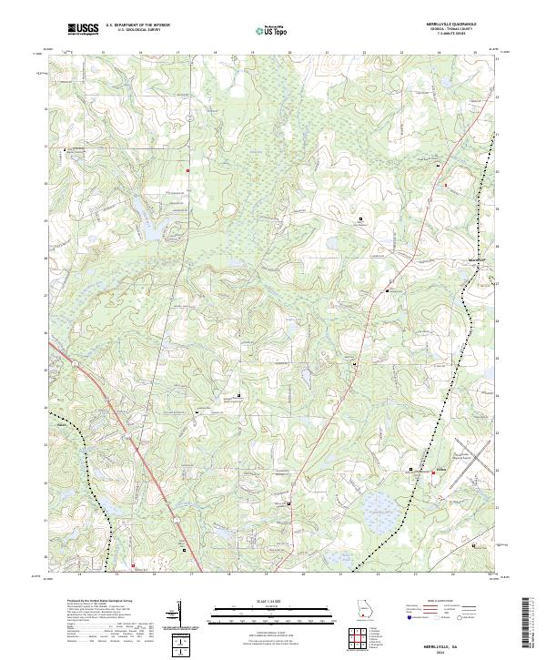
2024 Merrillville
Thomas County, GA
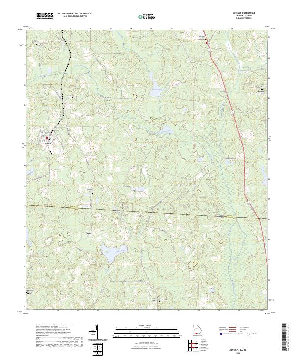
2024 Metcalf
Thomas County, GA
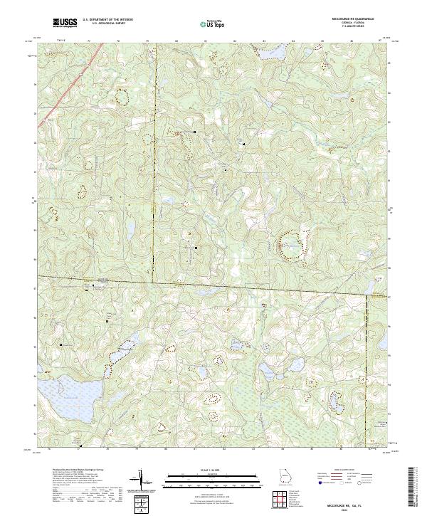
2024 Miccosukee NE
Thomas County, GA
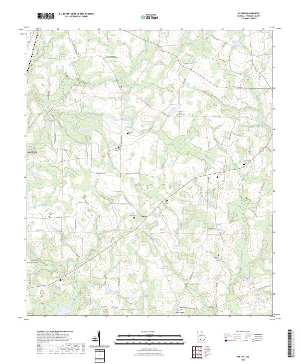
2024 Patten
Thomas County, GA
2024 Pine Park
Thomas County, GA