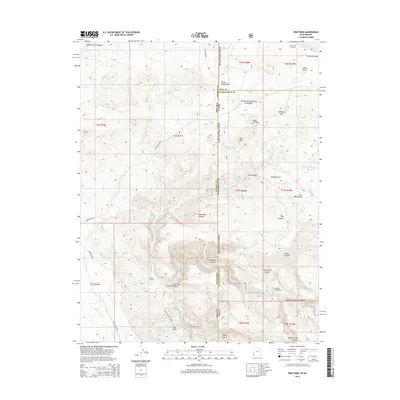
2014 Map of Pine Park
USGS Topo · Published 2014About this map
The Dixie National Forest defines much of this high-desert landscape along the border of Utah and Nevada. The terrain is characterized by a series of deep drainages and volcanic formations, most notably at Pine Park Canyon and Clover Creek Canyon. Water management in this arid environment is evident through several small impoundments such as the Pine Mountain Reservoir, Wheatgrass Reservoir, and Crestline Reservoir, alongside scattered natural water sources like Cliff Spring and Mile High Spring.
Find a feature on this map
47 named features on this map. Tap any name to fly to it.
Don’t see what you’re looking for? This feature index may not catch every label — zoom into the map to look around manually.
Map Details
Editions of this 2014 Pine Park Map
This is the sole edition of this map. No revisions or reprints were ever made.
Other maps of this area

1885 · St. George
USGS Topo · 1:250,000

1885 · Pioche
USGS Topo · 1:250,000

1886 · Pioche
USGS Topo · 1:250,000

1891 · St. George
USGS Topo · 1:250,000

1953 · Cedar City
USGS Topo · 1:250,000

1954 · Caliente
USGS Topo · 1:250,000

1958 · Cedar City
USGS Topo · 1:250,000

1958 · Docs Pass
USGS Topo · 1:24,000

1959 · Caliente
USGS Topo · 1:250,000

1962 · Cedar City
USGS Topo · 1:250,000