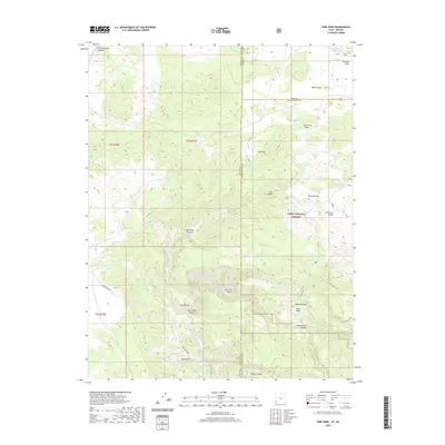
2020 Map of Pine Park
USGS Topo · Published 2020About this map
The high desert terrain of the Dixie National Forest dominates this topographic study at the intersection of Washington and Iron counties in Utah and Lincoln County in Nevada. The landscape is defined by a series of dramatic volcanic and sedimentary formations, most notably at Pine Park, where white tuff outcrops create a distinct geological profile. Water management in this arid environment is evidenced by a network of catchments and springs, including Crestline Reservoir, Wheatgrass Reservoir, and Schroeder Lake. The drainage systems of Beaver Dam Wash and its branches, such as E Fork Beaver Dam Wash, have carved deep incisions into the plateau, creating features like Split Pine Hollow and Clay Canyon. Historic access is preserved through routes like Beaver Dam Rd and backcountry paths including the White Hollow Trail and the S Boundary Trail.
Find a feature on this map
41 named features on this map. Tap any name to fly to it.
Don’t see what you’re looking for? This feature index may not catch every label — zoom into the map to look around manually.
Map Details
Editions of this 2020 Pine Park Map
This is the sole edition of this map. No revisions or reprints were ever made.
Other maps of this area

1885 · St. George
USGS Topo · 1:250,000

1885 · Pioche
USGS Topo · 1:250,000

1886 · Pioche
USGS Topo · 1:250,000

1891 · St. George
USGS Topo · 1:250,000

1953 · Cedar City
USGS Topo · 1:250,000

1954 · Caliente
USGS Topo · 1:250,000

1958 · Cedar City
USGS Topo · 1:250,000

1958 · Docs Pass
USGS Topo · 1:24,000

1959 · Caliente
USGS Topo · 1:250,000

1962 · Cedar City
USGS Topo · 1:250,000