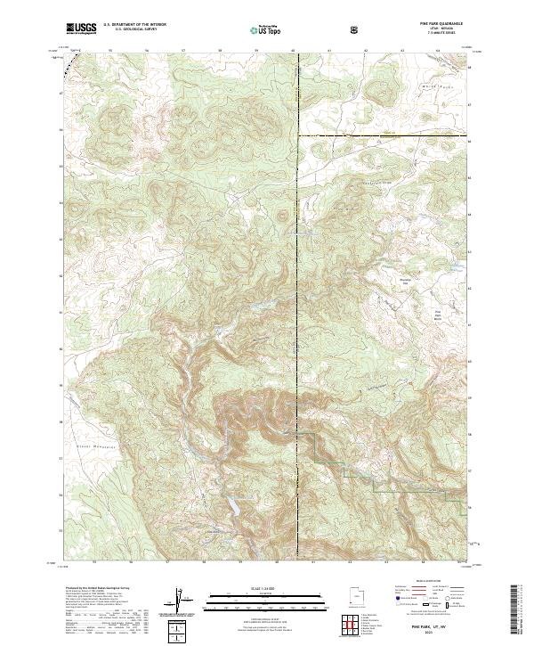
2023 Map of Pine Park
USGS Topo · Published 2023About this map
Tunnel Spring Wilderness and the Cougar Canyon Wilderness dominate this high-altitude border region where Washington and Iron Counties in Utah meet Lincoln County, Nevada. The landscape is defined by its drainage systems and water sources, from the East Fork Beaver Dam Wash to numerous mountain springs including Mille Spring, High Spring, and Grapevine Spring. Modern conservation boundaries within the Dixie National Forest provide a clear view of the protected watershed.
Find a feature on this map
39 named features on this map. Tap any name to fly to it.
Don’t see what you’re looking for? This feature index may not catch every label — zoom into the map to look around manually.
Map Details
Editions of this 2023 Pine Park Map
This is the sole edition of this map. No revisions or reprints were ever made.
Other maps of this area

1885 · St. George
USGS Topo · 1:250,000

1885 · Pioche
USGS Topo · 1:250,000

1886 · Pioche
USGS Topo · 1:250,000

1891 · St. George
USGS Topo · 1:250,000

1953 · Cedar City
USGS Topo · 1:250,000

1954 · Caliente
USGS Topo · 1:250,000

1958 · Cedar City
USGS Topo · 1:250,000

1958 · Docs Pass
USGS Topo · 1:24,000

1959 · Caliente
USGS Topo · 1:250,000

1962 · Cedar City
USGS Topo · 1:250,000