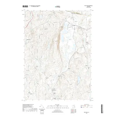
2019 Map of Pine Plains
USGS Topo · Published 2019About this map
Pine Plains serves as a central hub in this northern Dutchess County landscape, where the town grid meets the rising slopes of Stissing Mtn. The topography is defined by prominent ridges like Hicks Hill and Conklin Hill, which channel waterways such as Wappinger Cr and Shekomeko Cr through the valleys. The rural character is reinforced by several small, scattered hamlets including Bangall, Hammertown, and Lafayetteville, each linked by a network of historic roads. For those tracing family histories, the map identifies numerous small cemeteries and interment sites, such as the Wirehouse Burial Ground, North East Friends Cem, and the Sutherland - Bear Market Cem. The landscape is also dotted with significant water bodies, from the larger Hunns Lake and Halcyon Lake to smaller features like Wilbur Pond and Lake Geneva, illustrating the region's well-watered agricultural and residential heritage.
Find a feature on this map
123 named features on this map. Tap any name to fly to it.
Don’t see what you’re looking for? This feature index may not catch every label — zoom into the map to look around manually.
Map Details
Editions of this 2019 Pine Plains Map
This is the sole edition of this map. No revisions or reprints were ever made.
Other maps of this area

1895 · Catskill
USGS Topo · 1:62,500

1898 · Rhinebeck
USGS Topo · 1:62,500

1899 · Millbrook
USGS Topo · 1:62,500

1902 · Millbrook
USGS Topo · 1:62,500

1902 · Copake
USGS Topo · 1:62,500

1904 · Copake
USGS Topo · 1:62,500

1934 · Rhinebeck
USGS Topo · 1:48,000

1934 · Catskill
USGS Topo · 1:62,500

1938 · Catskill
USGS Topo · 1:62,500

1939 · Rhinebeck
USGS Topo · 1:62,500