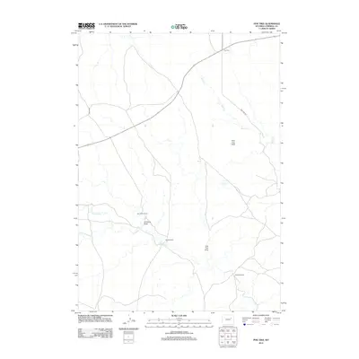
2012 Map of Pine Tree
USGS Topo · Published 2012About this map
Pine Tree anchors this sparsely settled section of Campbell County, where the high plains landscape is defined by traditional ranching operations and seasonal watercourses. The local geography is marked by family-named holdings such as the Van Gordan Ranch, Bozarth Ranch, and Ninemile Ranch, illustrating the persistent land-use patterns of the Wyoming basin. These homesteads are situated near drainage features like Simmons Draw and Pine Tree Draw, which funnel intermittent runoff toward Ninemile Cr and Bates Cr. The terrain rises to a prominent lookout at Pine Tree Peak, overlooking a network of secondary routes including Brown Rd and Pine Tree Rd. This survey documents the area's essential infrastructure, from the critical water source at Pine Tree Spring to the various ranch access points that sustain the region's agricultural economy.
Find a feature on this map
13 named features on this map. Tap any name to fly to it.
Don’t see what you’re looking for? This feature index may not catch every label — zoom into the map to look around manually.
Map Details
Editions of this 2012 Pine Tree Map
This is the sole edition of this map. No revisions or reprints were ever made.
Other maps of this area

1953 · South Butte
USGS Topo · 1:24,000

1953 · Rolling Pin Ranch
USGS Topo · 1:24,000

1954 · Artesian Draw
USGS Topo · 1:24,000

1954 · Pine Tree
USGS Topo · 1:24,000

1955 · Newcastle
USGS Topo · 1:250,000

1958 · Newcastle
USGS Topo · 1:250,000

1959 · Coal Draw
USGS Topo · 1:62,500

1960 · Ross
USGS Topo · 1:62,500

1960 · Turnercrest
USGS Topo · 1:62,500

1974 · Reno Junction
USGS Topo · 1:100,000