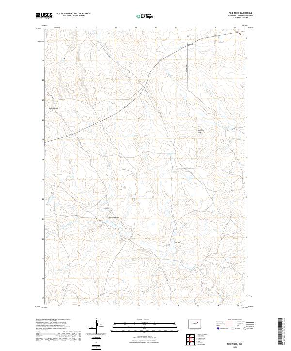
2021 Map of Pine Tree
USGS Topo · Published 2021About this map
Pine Tree Peak rises above the high plains of southern Campbell County, marking a landscape defined by an intricate network of intermittent watercourses and draws. The area around the Pine Tree junction serves as a topographical hub where the upper reaches of Bates Cr and Ninemile Cr originate. This 2021 survey illustrates a ranching and energy landscape crisscrossed by Nine Mile Creek Rd and Archibald Rd, which navigate the subtle shifts in elevation between drainage basins.
Find a feature on this map
17 named features on this map. Tap any name to fly to it.
Don’t see what you’re looking for? This feature index may not catch every label — zoom into the map to look around manually.
Map Details
Editions of this 2021 Pine Tree Map
This is the sole edition of this map. No revisions or reprints were ever made.
Other maps of this area

1953 · South Butte
USGS Topo · 1:24,000

1953 · Rolling Pin Ranch
USGS Topo · 1:24,000

1954 · Artesian Draw
USGS Topo · 1:24,000

1954 · Pine Tree
USGS Topo · 1:24,000

1955 · Newcastle
USGS Topo · 1:250,000

1958 · Newcastle
USGS Topo · 1:250,000

1959 · Coal Draw
USGS Topo · 1:62,500

1960 · Ross
USGS Topo · 1:62,500

1960 · Turnercrest
USGS Topo · 1:62,500

1974 · Reno Junction
USGS Topo · 1:100,000