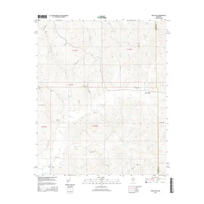
2015 Map of Pine Valley
USGS Topo · Published 2015About this map
Pine Valley serves as a central point in this rural landscape, situated near the boundary where Yalobusha and Calhoun Counties meet. This portion of Mississippi is defined by a dense network of watercourses, including the westward-flowing Hurricane Cr and the winding Turkey Cr, which create a complex system of ridges and valleys. The presence of numerous family and community burial grounds, such as Bethel Cem and Macedonia Cem, indicates a deeply rooted settlement pattern typical of the region's history. Longstanding rural routes like Old Pittsboro Rd and Pontotoc Rd connect scattered homesteads, while local names like Brouwer Br and Simmons Br reflect the generational influence of local families on the geography of the northern Mississippi hill country.
Find a feature on this map
52 named features on this map. Tap any name to fly to it.
Don’t see what you’re looking for? This feature index may not catch every label — zoom into the map to look around manually.
Map Details
Editions of this 2015 Pine Valley Map
This is the sole edition of this map. No revisions or reprints were ever made.
Other maps of this area

1953 · West Point
USGS Topo · 1:250,000

1954 · Pittsboro
USGS Topo · 1:62,500

1954 · Water Valley
USGS Topo · 1:62,500

1954 · Water Valley West
USGS Topo · 1:24,000

1955 · Water Valley
USGS Topo · 1:62,500

1955 · Coffeeville
USGS Topo · 1:62,500

1956 · Tupelo
USGS Topo · 1:250,000

1958 · Tupelo
USGS Topo · 1:250,000

1958 · West Point
USGS Topo · 1:250,000

1963 · West Point
USGS Topo · 1:250,000