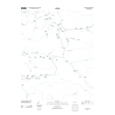
2013 Map of Pine View
USGS Topo · Published 2013About this map
Pine View serves as a central point of reference in this landscape defined by a complex network of named drainages and hollows. The terrain is marked by family-named landmarks such as Horner Hollow, Nix Hollow, and Madden Hollow, suggesting a long history of local settlement and land use. Waterways including Toms Cr and Lick Cr wind through the topography, with Toms Creek Ford indicating historical crossing points before modern infrastructure.
Find a feature on this map
91 named features on this map. Tap any name to fly to it.
Don’t see what you’re looking for? This feature index may not catch every label — zoom into the map to look around manually.
Map Details
Editions of this 2013 Pine View Map
This is the sole edition of this map. No revisions or reprints were ever made.
Other maps of this area

1936 · Pine View
USGS Topo · 1:24,000

1936 · Daniels Landing
USGS Topo · 1:24,000

1936 · Linden
USGS Topo · 1:24,000

1936 · Chestnut Grove
USGS Topo · 1:24,000

1936 · Jeannette
USGS Topo · 1:24,000

1936 · Sugar Tree
USGS Topo · 1:24,000

1936 · Lobelville
USGS Topo · 1:24,000

1936 · Perryville
USGS Topo · 1:24,000

1936 · Pope
USGS Topo · 1:24,000

1949 · Perryville
USGS Topo · 1:24,000