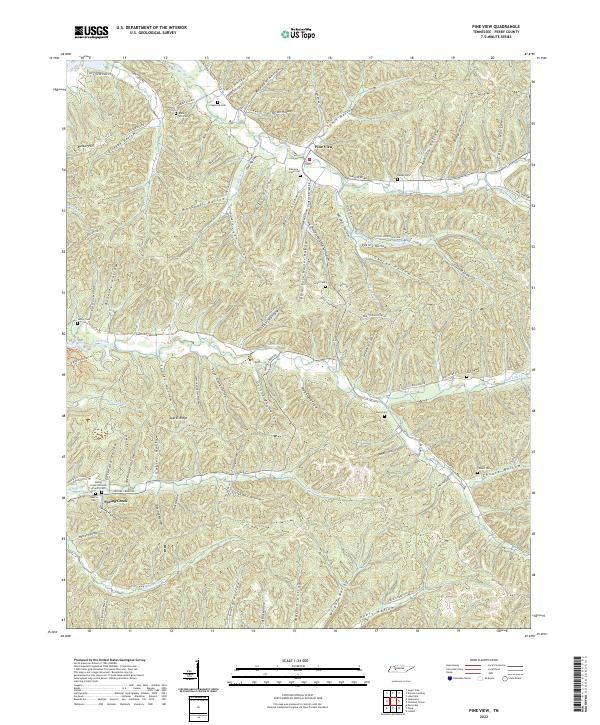
2022 Map of Pine View
USGS Topo · Published 2022About this map
Densely packed hollows and ridges define this landscape in Perry County, where small family-named landmarks and cemeteries anchor the high ground between winding watercourses. The settlement of Pine View sits centrally, surrounded by a complex network of valleys such as Horner Hollow, Pitts Hollow, and Lewis Hollow. To the south, the community of Spring Creek is situated near the Spring Greek Holiness Church Cem and Weems Cem, indicating long-established local congregations and family plots that have served the area for generations.
Find a feature on this map
108 named features on this map. Tap any name to fly to it.
Don’t see what you’re looking for? This feature index may not catch every label — zoom into the map to look around manually.
Map Details
Editions of this 2022 Pine View Map
This is the sole edition of this map. No revisions or reprints were ever made.
Other maps of this area

1936 · Pine View
USGS Topo · 1:24,000

1936 · Daniels Landing
USGS Topo · 1:24,000

1936 · Linden
USGS Topo · 1:24,000

1936 · Chestnut Grove
USGS Topo · 1:24,000

1936 · Jeannette
USGS Topo · 1:24,000

1936 · Sugar Tree
USGS Topo · 1:24,000

1936 · Lobelville
USGS Topo · 1:24,000

1936 · Perryville
USGS Topo · 1:24,000

1936 · Pope
USGS Topo · 1:24,000

1949 · Perryville
USGS Topo · 1:24,000