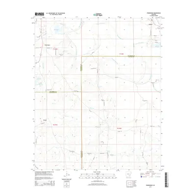
2014 Map of Pinebergen
USGS Topo · Published 2014About this map
Bayou Bartholomew meanders extensively through this landscape, marking a prominent natural boundary at the intersection of Jefferson, Lincoln, and Cleveland Counties. The settlement patterns follow the higher ground and winding watercourses, with Pinebergen and Hooker serving as primary local hubs. For genealogists, the map is particularly useful for locating smaller family-named burial sites such as Jefferson Cem, Grahams Cem, and Williams Cem.
Find a feature on this map
58 named features on this map. Tap any name to fly to it.
Don’t see what you’re looking for? This feature index may not catch every label — zoom into the map to look around manually.
Map Details
Editions of this 2014 Pinebergen Map
This is the sole edition of this map. No revisions or reprints were ever made.
Other maps of this area

1935 · Feenyville
USGS Topo · 1:62,500

1935 · Noble Lake
USGS Topo · 1:62,500

1948 · Helena
USGS Topo · 1:250,000

1950 · Helena
USGS Topo · 1:250,000

1953 · Greenwood
USGS Topo · 1:250,000

1953 · El Dorado
USGS Topo · 1:250,000

1955 · Helena
USGS Topo · 1:250,000

1955 · Little Rock
USGS Topo · 1:250,000

1956 · Little Rock
USGS Topo · 1:250,000

1956 · Greenwood
USGS Topo · 1:250,000