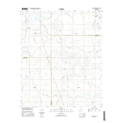
2017 Map of Pinebergen
USGS Topo · Published 2017About this map
Pinebergen and Hooker anchor the northern reaches of this landscape where three counties — Jefferson, Cleveland, and Lincoln — converge amidst a complex system of waterways. The terrain is defined by the winding course of Bayou Bartholomew and the extensive wetlands of Bradshaw Brake, creating a mosaic of oxbow lakes like Taliaferro Lake and Marks Lake. This hydrographic pattern highlights the alluvial nature of the region, where numerous small tributaries such as Greens Cr and Melton Cr drain toward the larger bayous. Local history is preserved in several family and community burial sites, including Jefferson Cem and Grahams Cem, situated near traditional rural routes like Old Star City Rd. Southward, the settlement at Griffith Springs sits near the crossing of Flat Cr, illustrating the long-standing importance of water access for these Arkansas communities.
Find a feature on this map
67 named features on this map. Tap any name to fly to it.
Don’t see what you’re looking for? This feature index may not catch every label — zoom into the map to look around manually.
Map Details
Editions of this 2017 Pinebergen Map
This is the sole edition of this map. No revisions or reprints were ever made.
Other maps of this area

1935 · Feenyville
USGS Topo · 1:62,500

1935 · Noble Lake
USGS Topo · 1:62,500

1948 · Helena
USGS Topo · 1:250,000

1950 · Helena
USGS Topo · 1:250,000

1953 · Greenwood
USGS Topo · 1:250,000

1953 · El Dorado
USGS Topo · 1:250,000

1955 · Helena
USGS Topo · 1:250,000

1955 · Little Rock
USGS Topo · 1:250,000

1956 · Little Rock
USGS Topo · 1:250,000

1956 · Greenwood
USGS Topo · 1:250,000