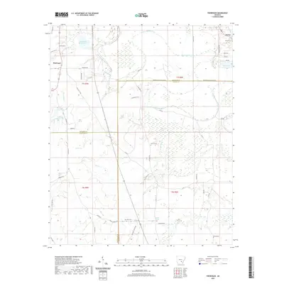
2020 Map of Pinebergen
USGS Topo · Published 2020About this map
Bayou Bartholomew snakes through the landscape, defining the topography of this corner of Jefferson, Lincoln, and Cleveland counties. The area is characterized by a low-lying network of waterways including Deep Bayou, Sandy Bayou, and the sprawling wetlands of Bradshaw Brake. Small settlements like Pinebergen and Hooker are connected by a grid of local roads and state routes, such as State Hwy 54, while the presence of scattered family and community burial grounds like Jefferson Cem, Grahams Cem, New Owen Cem, and Williams Cem suggests a long history of rural residence. The map also captures several distinct water bodies, from Shady Oaks Reservoir in the northwest to Marks Lake in the northeast, alongside numerous creeks such as Steep Bank Cr and Greens Cr. These features reflect a region shaped by both its alluvial environment and its sustained agricultural and residential development.
Find a feature on this map
66 named features on this map. Tap any name to fly to it.
Don’t see what you’re looking for? This feature index may not catch every label — zoom into the map to look around manually.
Map Details
Editions of this 2020 Pinebergen Map
This is the sole edition of this map. No revisions or reprints were ever made.
Other maps of this area

1935 · Feenyville
USGS Topo · 1:62,500

1935 · Noble Lake
USGS Topo · 1:62,500

1948 · Helena
USGS Topo · 1:250,000

1950 · Helena
USGS Topo · 1:250,000

1953 · Greenwood
USGS Topo · 1:250,000

1953 · El Dorado
USGS Topo · 1:250,000

1955 · Helena
USGS Topo · 1:250,000

1955 · Little Rock
USGS Topo · 1:250,000

1956 · Little Rock
USGS Topo · 1:250,000

1956 · Greenwood
USGS Topo · 1:250,000