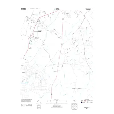
2013 Map of Pinebluff
USGS Topo · Published 2013About this map
Pinebluff and the surrounding Moore County landscape are defined by a complex network of tributaries and military land use during the early 21st century. The map illustrates a transition from the established street grids of Pinebluff and Silver Springs to the southern expanses of the Camp Mackall Mil Res. This military presence is anchored by the Mackall Army Airfield and specialized routes like Special Forces Way. Water is a dominant feature throughout the quadrangle, with Aberdeen Cr flowing near the northern settlements and Drowning Cr cutting through the center. Small rural communities such as Addor, Lincoln Park, and Pine Hill are connected by a web of local roads and state routes like NC-1231, while larger bodies of water like Big Muddy Lake and Moss Gill Lake sit within the restricted military zones, indicating a landscape where civilian life and national defense coexist.
Find a feature on this map
138 named features on this map. Tap any name to fly to it.
Don’t see what you’re looking for? This feature index may not catch every label — zoom into the map to look around manually.
Map Details
Editions of this 2013 Pinebluff Map
This is the sole edition of this map. No revisions or reprints were ever made.
Other maps of this area

1942 · Troy
USGS Topo · 1:125,000

1942 · Rockingham
USGS Topo · 1:125,000

1948 · Southern Pines
USGS Topo · 1:62,500

1948 · Pinebluff
USGS Topo · 1:24,000

1948 · Mc Cain
USGS Topo · 1:24,000

1949 · Wagram
USGS Topo · 1:24,000

1949 · Silver Hill
USGS Topo · 1:24,000

1949 · West End
USGS Topo · 1:24,000

1949 · Hoffman
USGS Topo · 1:24,000

1949 · Marston
USGS Topo · 1:24,000