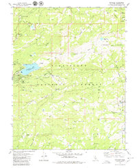
1979 Map of Pinecrest
USGS Topo · Published 1980About this map
Pinecrest Lake serves as a central landmark for this High Sierra landscape, with its shoreline featuring a boat ramp, multiple campgrounds, and nearby ski lifts on the slopes of Dodge Ridge. This 1970s survey captures the region's recreational development within the Stanislaus National Forest, showing established settlements like Pinecrest and Strawberry alongside seasonal sites such as the Gianelli Cabin (Site).
Find a feature on this map
64 named features on this map. Tap any name to fly to it.
Don’t see what you’re looking for? This feature index may not catch every label — zoom into the map to look around manually.
Map Details
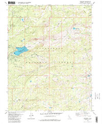
Editions of this 1979 Pinecrest Map
3 editions found

Other maps of this area

1891 · Big Trees
USGS Topo · 1:125,000

1894 · Big Trees
USGS Topo · 1:125,000

1896 · Dardanelles
USGS Topo · 1:125,000

1897 · Big Trees
USGS Topo · 1:125,000

1898 · Dardanelles
USGS Topo · 1:125,000

1901 · Big Trees
USGS Topo · 1:125,000

1947 · Sacramento
USGS Topo · 1:250,000

1948 · Walker Lake
USGS Topo · 1:250,000

1948 · Sacramento
USGS Topo · 1:250,000

1956 · Sacramento
USGS Topo · 1:250,000