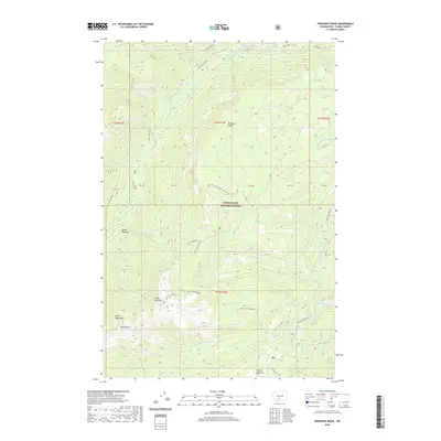
2020 Map of Pinegrass Ridge
USGS Topo · Published 2020About this map
Pinegrass Ridge and the surrounding high-altitude terrain of the Snoqualmie National Forest dominate this landscape in Yakima County. The area is defined by its dramatic drainage networks, with the North Fork Tieton River and the South Fork Tieton River carving deep paths through the timbered highlands. Human activity is marked by recreational and fire-watch infrastructure, including the Bear Creek Mtn Lookout and the Ten Day Trail, which navigates the complex ridges and valleys. Evidence of the region’s glacially-influenced geography appears in the concentration of high-mountain waters such as Hell Lake, Phantom Lake, and Conrad Lake. Extensive meadow systems like Tieton Meadows and Conrad Meadows provide contrast to the sharp peaks of Bear Creek Mountain and the distinctively named Devils Horn.
Find a feature on this map
33 named features on this map. Tap any name to fly to it.
Don’t see what you’re looking for? This feature index may not catch every label — zoom into the map to look around manually.
Map Details
Editions of this 2020 Pinegrass Ridge Map
This is the sole edition of this map. No revisions or reprints were ever made.
Other maps of this area

1902 · Mount Aix
USGS Topo · 1:125,000

1904 · Mt Aix
USGS Topo · 1:125,000

1904 · Mount Adams
USGS Topo · 1:125,000

1907 · Mount Adams
USGS Topo · 1:125,000

1950 · Yakima
USGS Topo · 1:250,000

1958 · Yakima
USGS Topo · 1:250,000

1961 · Yakima
USGS Topo · 1:250,000

1962 · White Pass
USGS Topo · 1:62,500

1967 · Rimrock Lake
USGS Topo · 1:24,000

1967 · Darland Mtn
USGS Topo · 1:24,000