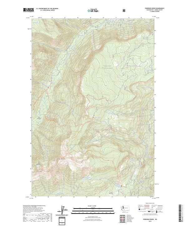
2023 Map of Pinegrass Ridge
USGS Topo · Published 2023About this map
Snoqualmie National Forest and the Goat Rocks Wilderness converge in this high-altitude landscape of Yakima County, dominated by the drainage systems of the North Fork Tieton River and the South Fork Tieton River. The topography is defined by significant elevations such as Bear Creek Mtn and Pinegrass Ridge, with unique geological features like the Devils Washbasin and Devils Horn. High-country hydrology is well-represented by Clear Lake, Phantom Lake, and Hell Lake, while seasonal glacial melt feeds numerous tributaries including Corral Creek and Discovery Creek. Human presence is marked by low-lying areas like Tieton Meadows and Conrad Meadows, connected by a network of established wilderness routes such as the Bear Creek Mountain Trl and the Tieton Meadows Trl. This study captures the preserved state of the Washington Cascades, showing the intricate boundary where national forest land meets protected wilderness.
Find a feature on this map
40 named features on this map. Tap any name to fly to it.
Don’t see what you’re looking for? This feature index may not catch every label — zoom into the map to look around manually.
Map Details
Editions of this 2023 Pinegrass Ridge Map
This is the sole edition of this map. No revisions or reprints were ever made.
Other maps of this area

1902 · Mount Aix
USGS Topo · 1:125,000

1904 · Mt Aix
USGS Topo · 1:125,000

1904 · Mount Adams
USGS Topo · 1:125,000

1907 · Mount Adams
USGS Topo · 1:125,000

1950 · Yakima
USGS Topo · 1:250,000

1958 · Yakima
USGS Topo · 1:250,000

1961 · Yakima
USGS Topo · 1:250,000

1962 · White Pass
USGS Topo · 1:62,500

1967 · Rimrock Lake
USGS Topo · 1:24,000

1967 · Darland Mtn
USGS Topo · 1:24,000