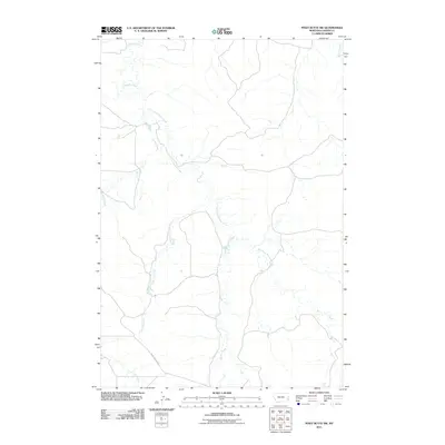
2011 Map of Piney Butte SW
USGS Topo · Published 2011About this map
Miles City Cutoff traverses the southern reaches of this landscape in Carter County, marking a significant route through the high plains of eastern Montana. The area is defined by a dendritic drainage network centered on O'Fallon Creek and its major tributary, the East Fork O'Fallon Creek. These seasonal waterways, including Alkali Creek, Lone Tree Creek, and Hanley Creek, carve subtle basins into the terrain, illustrating the importance of water sources in this cattle-ranching region. The absence of named towns emphasizes the rural, open character of the land as it appeared in the early 21st century, where human activity is primarily traced by the section-line roads and the historic path of the Miles City Cutoff. Local landmarks are almost exclusively hydrological, from Lily Creek in the southwest to Spring Creek in the northeast corner.
Find a feature on this map
8 named features on this map. Tap any name to fly to it.
Don’t see what you’re looking for? This feature index may not catch every label — zoom into the map to look around manually.
Map Details
Editions of this 2011 Piney Butte SW Map
This is the sole edition of this map. No revisions or reprints were ever made.
Other maps of this area

1953 · Miles City
USGS Topo · 1:250,000

1954 · Ekalaka
USGS Topo · 1:250,000

1956 · Ekalaka
USGS Topo · 1:250,000

1957 · Miles City
USGS Topo · 1:250,000

1958 · Miles City
USGS Topo · 1:250,000

1958 · Ekalaka
USGS Topo · 1:250,000

1965 · Ekalaka
USGS Topo · 1:250,000

1979 · Board Corral Creek
USGS Topo · 1:24,000

1979 · Ekalaka
USGS Topo · 1:24,000

1979 · Beaver Flats North
USGS Topo · 1:24,000