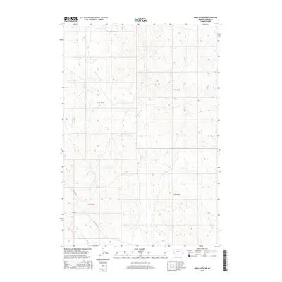
2017 Map of Piney Butte SW
USGS Topo · Published 2017About this map
O'Fallon Cr and the E Fork O'Fallon Cr drainage system define this corner of Carter County, where the high plains terrain is carved by a network of seasonal watercourses. This 2017 survey details the sparse ranching landscape as it appeared in the early 21st century, dominated by long-established overland routes. The Miles City Cutoff and Mizpah Rd traverse the southwestern section, following the natural contours of the land away from the creek beds. Other local drainages like Lone Tree Cr, Hanley Cr, and Alkali Cr show the intricate dissection of the prairie. The map provides a precise record of the Public Land Survey System township and range lines, showing the enduring grid of the American West across the remote coulees and buttes of eastern Montana.
Find a feature on this map
14 named features on this map. Tap any name to fly to it.
Don’t see what you’re looking for? This feature index may not catch every label — zoom into the map to look around manually.
Map Details
Editions of this 2017 Piney Butte SW Map
This is the sole edition of this map. No revisions or reprints were ever made.
Other maps of this area

1953 · Miles City
USGS Topo · 1:250,000

1954 · Ekalaka
USGS Topo · 1:250,000

1956 · Ekalaka
USGS Topo · 1:250,000

1957 · Miles City
USGS Topo · 1:250,000

1958 · Miles City
USGS Topo · 1:250,000

1958 · Ekalaka
USGS Topo · 1:250,000

1965 · Ekalaka
USGS Topo · 1:250,000

1979 · Board Corral Creek
USGS Topo · 1:24,000

1979 · Ekalaka
USGS Topo · 1:24,000

1979 · Beaver Flats North
USGS Topo · 1:24,000