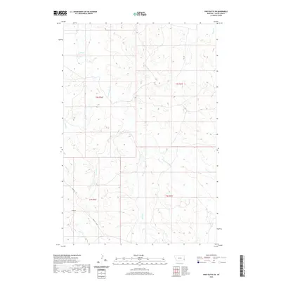
2020 Map of Piney Butte SW
USGS Topo · Published 2020About this map
O'Fallon Cr and its tributaries carve a network of drainage across this section of Carter County, defining the landscape's character and historical movement patterns. The land is organized by several watercourses including the E Fork O'Fallon Cr, Lone Tree Cr, and Hanley Cr, which dictate the placement of local transport routes. This 2020 survey illustrates how modern road networks, such as the Miles City Cutoff, Ismay Rd, and Mizpah Rd, navigate the terrain by following the natural gaps between these drainages. The map provides a precise look at the township and range divisions of T4N R56E and T4N R57E, essential for local land ownership research and tracing the geographic evolution of this remote Montana region.
Find a feature on this map
14 named features on this map. Tap any name to fly to it.
Don’t see what you’re looking for? This feature index may not catch every label — zoom into the map to look around manually.
Map Details
Editions of this 2020 Piney Butte SW Map
This is the sole edition of this map. No revisions or reprints were ever made.
Other maps of this area

1953 · Miles City
USGS Topo · 1:250,000

1954 · Ekalaka
USGS Topo · 1:250,000

1956 · Ekalaka
USGS Topo · 1:250,000

1957 · Miles City
USGS Topo · 1:250,000

1958 · Miles City
USGS Topo · 1:250,000

1958 · Ekalaka
USGS Topo · 1:250,000

1965 · Ekalaka
USGS Topo · 1:250,000

1979 · Board Corral Creek
USGS Topo · 1:24,000

1979 · Ekalaka
USGS Topo · 1:24,000

1979 · Beaver Flats North
USGS Topo · 1:24,000