
1901 Map of Piney Point
USGS Topo · Published 1901About this map
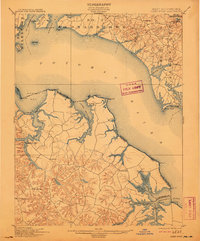
The Potomac River dominates this turn-of-the-century coastal landscape, serving as the jurisdictional boundary between Maryland and Virginia. On the northern Maryland shore, the map details the districts of No. 3 Leonardtown and No. 2 Valley Lee, where small settlements like Chingville and Clifton Mills are connected by a network of local roads. Across the water in Westmoreland County, Virginia, the Lower Machodoc River and Nomini Creek create a jagged coastline of points and necks, such as Ragged Pt. and Kingcopsico Pt..
Find a feature on this map
65 named features on this map. Tap any name to fly to it.
Don’t see what you’re looking for? This feature index may not catch every label — zoom into the map to look around manually.
Map Details
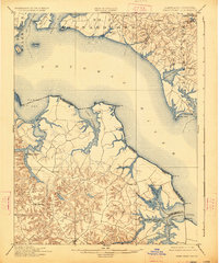
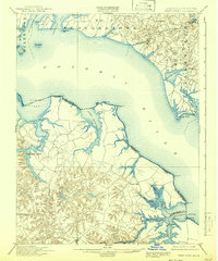
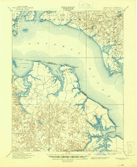
Editions of this 1901 Piney Point Map
5 editions found
Other maps of this area

1892 · Leonardtown
USGS Topo · 1:62,500

1892 · Drum Point
USGS Topo · 1:62,500

1892 · Piney Point
USGS Topo · 1:62,500

1892 · Montross
USGS Topo · 1:62,500

1894 · Wicomico
USGS Topo · 1:62,500

1894 · Piney Point
USGS Topo · 1:62,500

1894 · Point Lookout
USGS Topo · 1:62,500

1895 · Wicomico
USGS Topo · 1:62,500

1895 · Leonardtown
USGS Topo · 1:62,500

1895 · Nomini
USGS Topo · 1:125,000