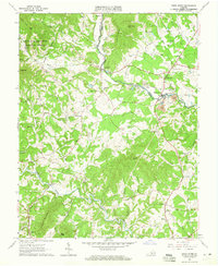
1963 Map of Piney River
USGS Topo · Published 1965About this map
Piney River and the Buffalo River carve through the foothills of the George Washington National Forest in this 1963 survey of the Amherst and Nelson County border. The landscape is defined by a rural economy of small community hubs and extractive industry, notably the numerous quarries, mine dumps, and a tailings pond clustered near the Piney River settlement. Transportation relies on the winding tracks of the Blue Ridge Railway and remnants of earlier infrastructure like the Old RR Grade near Thompson Mtn.
Find a feature on this map
67 named features on this map. Tap any name to fly to it.
Don’t see what you’re looking for? This feature index may not catch every label — zoom into the map to look around manually.
Map Details
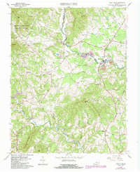
Editions of this 1963 Piney River Map
2 editions found
Other maps of this area

1892 · Buckingham
USGS Topo · 1:125,000

1894 · Lexington
USGS Topo · 1:125,000

1935 · Amherst
USGS Topo · 1:48,000

1936 · Vesuvius
USGS Topo · 1:48,000

1939 · Amherst
USGS Topo · 1:62,500

1941 · Vesuvius
USGS Topo · 1:62,500

1943 · Lovingston
USGS Topo · 1:62,500

1946 · Lovingston
USGS Topo · 1:62,500

1947 · Roanoke
USGS Topo · 1:250,000

1950 · Amherst
USGS Topo · 1:62,500