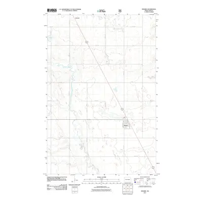
2011 Map of Pingree
USGS Topo · Published 2011About this map
Pingree and Edmunds anchor this Stutsman County landscape, connected by the long diagonal of US Highway 281. The settlement at Pingree is clearly defined by its local street grid, including Main St, Whalley St, and several residential avenues like Lincoln Ave and Hawthorne Ave. Just outside the town limits, Rest Cemetery serves as a significant landmark for those researching local family history.
Find a feature on this map
24 named features on this map. Tap any name to fly to it.
Don’t see what you’re looking for? This feature index may not catch every label — zoom into the map to look around manually.
Map Details
Editions of this 2011 Pingree Map
This is the sole edition of this map. No revisions or reprints were ever made.
Other maps of this area

1900 · Pingree
USGS Topo · 1:125,000

1900 · Pingree
USGS Topo · 1:62,500

1948 · Carrington
USGS Topo · 1:62,500

1950 · Melville
USGS Topo · 1:24,000

1950 · Buchanan
USGS Topo · 1:24,000

1951 · Arrowwood Lake
USGS Topo · 1:24,000

1951 · Pingree
USGS Topo · 1:24,000

1951 · Bordulac SW
USGS Topo · 1:24,000

1952 · Buchanan
USGS Topo · 1:24,000

1952 · Jim Lake
USGS Topo · 1:24,000