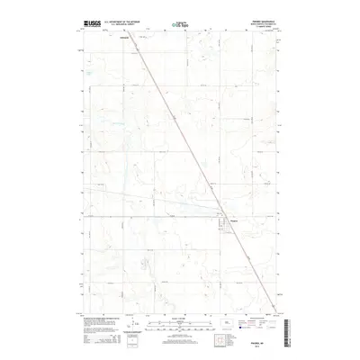
2014 Map of Pingree
USGS Topo · Published 2014About this map
Pingree serves as the primary hub of this North Dakota prairie landscape, situated at the junction of Us-281 and Hy 36 Se. The town's grid, featuring Lincoln Ave and English Ave, reflects the organized settlement patterns of Stutsman County. Just to the north along the highway, Rest Cem provides a focal point for genealogical research, while the northern settlement of Edmunds sits at the edge of the survey area. The terrain is defined by the winding course of Pipestem Creek, which drains through a landscape dotted with prairie potholes like Dollar Lake. The map illustrates a strictly surveyed rural network, where gravel roads such as 71st Ave SE and 15th St SE partition the land into a precise agricultural patchwork characteristic of the Great Plains.
Find a feature on this map
27 named features on this map. Tap any name to fly to it.
Don’t see what you’re looking for? This feature index may not catch every label — zoom into the map to look around manually.
Map Details
Editions of this 2014 Pingree Map
This is the sole edition of this map. No revisions or reprints were ever made.
Other maps of this area

1900 · Pingree
USGS Topo · 1:125,000

1900 · Pingree
USGS Topo · 1:62,500

1948 · Carrington
USGS Topo · 1:62,500

1950 · Melville
USGS Topo · 1:24,000

1950 · Buchanan
USGS Topo · 1:24,000

1951 · Arrowwood Lake
USGS Topo · 1:24,000

1951 · Pingree
USGS Topo · 1:24,000

1951 · Bordulac SW
USGS Topo · 1:24,000

1952 · Buchanan
USGS Topo · 1:24,000

1952 · Jim Lake
USGS Topo · 1:24,000