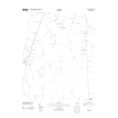
2013 Map of Pink Hill
USGS Topo · Published 2013About this map
The Trent River and its various tributaries define the rural landscape of this coastal plain region, where agriculture and early industry centered on reliable water sources. At the northern edge, Lawsons Mill and Nobles Mill stand as evidence of the milling heritage along the river, with Nobels Millpond serving as a significant local landmark. The settlement of Pink Hill anchors the southwestern portion of the sheet, supported by the Pink Hill Airport and a grid of rural routes.
Find a feature on this map
94 named features on this map. Tap any name to fly to it.
Don’t see what you’re looking for? This feature index may not catch every label — zoom into the map to look around manually.
Map Details
Editions of this 2013 Pink Hill Map
This is the sole edition of this map. No revisions or reprints were ever made.
Other maps of this area

1943 · Kenansville
USGS Topo · 1:62,500

1948 · Kenansville
USGS Topo · 1:62,500

1948 · Richlands
USGS Topo · 1:62,500

1953 · Rocky Mount
USGS Topo · 1:250,000

1953 · Beaufort
USGS Topo · 1:250,000

1954 · Rocky Mount
USGS Topo · 1:250,000

1954 · Beaufort
USGS Topo · 1:250,000

1957 · Seven Springs
USGS Topo · 1:62,500

1958 · Deep Run
USGS Topo · 1:62,500

1965 · Richlands
USGS Topo · 1:62,500