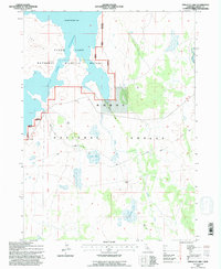
1993 Map of Pinnacle Lake
USGS Topo · Published 1996About this map
Clear Lake Reservoir dominates the northwestern portion of this high-plateau landscape, where the Clear Lake National Wildlife Refuge meets the protected reaches of the Modoc National Forest. This 1993 study details an environment shaped by water management and conservation, notably recording a spillway elevation of 4480 feet. The map illustrates a network of seasonal hydrology and drainage, including Moultz Creek and Boles Creek, alongside smaller high-elevation water bodies like Pinnacle Lake and Red Lake. The presence of several Rock Wall features suggests a history of livestock management or early land demarcation within these basins. Forest roads such as 46n29 and 46n73 provide the primary access through this remote intersection of sagebrush flats and volcanic terrain.
Find a feature on this map
19 named features on this map. Tap any name to fly to it.
Don’t see what you’re looking for? This feature index may not catch every label — zoom into the map to look around manually.
Map Details
Editions of this 1993 Pinnacle Lake Map
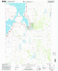
2 editions found
Other maps of this area

1886 · Alturas
USGS Topo · 1:250,000

1886 · Modoc Lava Bed
USGS Topo · 1:250,000

1892 · Modoc Lava-Bed
USGS Topo · 1:250,000

1892 · Alturas
USGS Topo · 1:250,000

1951 · Clear Lake Reservoir
USGS Topo · 1:62,500

1952 · Hackamore
USGS Topo · 1:62,500

1954 · Alturas
USGS Topo · 1:250,000

1958 · Alturas
USGS Topo · 1:250,000

1962 · Alturas
USGS Topo · 1:250,000

1962 · Steele Swamp
USGS Topo · 1:62,500