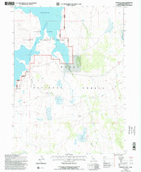
1993 Map of Pinnacle Lake
USGS Topo · Published 1996About this map
The Clear Lake National Wildlife Refuge dominates the northwestern portion of this landscape, centered on the expansive Clear Lake Reservoir. This high-altitude basin, managed at a spillway elevation of 4480, is defined by its intricate shoreline and the surrounding protected lands of the Modoc National Forest. The map reveals a high-desert environment where water is the primary organizing force, evidenced by seasonal drainage systems like Mowitz Creek and Boles Creek that weave through the volcanic terrain.
Find a feature on this map
19 named features on this map. Tap any name to fly to it.
Don’t see what you’re looking for? This feature index may not catch every label — zoom into the map to look around manually.
Map Details
Editions of this 1993 Pinnacle Lake Map
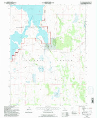
2 editions found
Other maps of this area

1886 · Alturas
USGS Topo · 1:250,000

1886 · Modoc Lava Bed
USGS Topo · 1:250,000

1892 · Modoc Lava-Bed
USGS Topo · 1:250,000

1892 · Alturas
USGS Topo · 1:250,000

1951 · Clear Lake Reservoir
USGS Topo · 1:62,500

1952 · Hackamore
USGS Topo · 1:62,500

1954 · Alturas
USGS Topo · 1:250,000

1958 · Alturas
USGS Topo · 1:250,000

1962 · Alturas
USGS Topo · 1:250,000

1962 · Steele Swamp
USGS Topo · 1:62,500