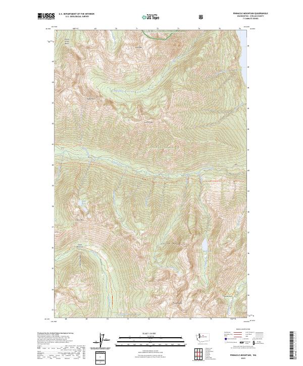
2023 Map of Pinnacle Mountain
USGS Topo · Published 2023About this map
The high alpine crests of the Entiat Mountains and Chelan Mountains dominate this 2023 survey of central Washington. The landscape is defined by the convergence of protected wilderness areas, including the Lake Chelan National Recreation Area, Stephen Mather Wilderness, and Glacier Peak Wilderness. This intersection of federal lands preserves a terrain of steep peaks and high basins, such as the Fourth of July Basin and the expansive Entiat Meadows at the headwaters of the Entiat River.
Find a feature on this map
47 named features on this map. Tap any name to fly to it.
Don’t see what you’re looking for? This feature index may not catch every label — zoom into the map to look around manually.
Map Details
Editions of this 2023 Pinnacle Mountain Map
This is the sole edition of this map. No revisions or reprints were ever made.
Other maps of this area

1902 · Stehekin
USGS Topo · 1:125,000

1904 · Stehekin
USGS Topo · 1:125,000

1944 · Holden
USGS Topo · 1:62,500

1944 · Lucerne
USGS Topo · 1:62,500

1949 · Lucerne
USGS Topo · 1:62,500

1949 · Holden
USGS Topo · 1:62,500

1955 · Concrete
USGS Topo · 1:250,000

1958 · Concrete
USGS Topo · 1:250,000

1962 · Concrete
USGS Topo · 1:250,000
1963 · Mt Lyall
USGS Topo · 1:24,000