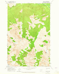
1963 Map of Mt Lyall
USGS Topo · Published 1965About this map
Okanogan National Forest covers this high-elevation landscape in the mid-1960s, defined by its intricate system of ridges and glacial features. The Cascade Crest Trail traverses the northern section, passing near Agnes Gorge and the headwaters of Agnes Creek. This era of the North Cascades is preserved here before modern designations, showing the primitive state of the wilderness where the Company Glacier feeds the southern drainages.
Find a feature on this map
29 named features on this map. Tap any name to fly to it.
Don’t see what you’re looking for? This feature index may not catch every label — zoom into the map to look around manually.
Map Details
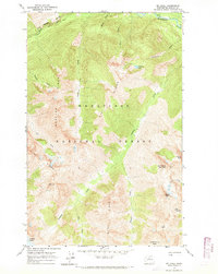
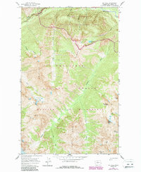
Editions of this 1963 Mt Lyall Map
3 editions found
Other maps of this area

1902 · Stehekin
USGS Topo · 1:125,000

1904 · Stehekin
USGS Topo · 1:125,000

1944 · Holden
USGS Topo · 1:62,500

1944 · Lucerne
USGS Topo · 1:62,500

1949 · Lucerne
USGS Topo · 1:62,500

1949 · Holden
USGS Topo · 1:62,500

1955 · Concrete
USGS Topo · 1:250,000

1958 · Concrete
USGS Topo · 1:250,000

1962 · Concrete
USGS Topo · 1:250,000

1963 · Mc Gregor Mtn
USGS Topo · 1:24,000