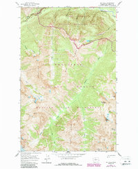
1963 Map of Mt Lyall
USGS Topo · Published 1987About this map
The Pacific Crest National Scenic Trail winds through the high-elevation terrain of the North Cascades, crossing several prominent ridges that define the geography of the Chelan region. This 1963 survey, updated with 1980s aerial data, shows a landscape dominated by the high peaks of Mt Lyall, Tupshin Peak, and White Goat Mountain. The area is a confluence of major administrative boundaries, including the North Cascades National Park, Lake Chelan National Recreation Area, and the Glacier Peak Wilderness. Significant glacial activity is recorded at the Company Glacier, which feeds into a network of steep drainages such as Company Creek and Sable Creek. Water systems are central to the map, from the northern reach of Lake Chelan and the Stehekin River to isolated alpine features like Battalion Lake and Lake Marie tucked into the Fourth of July Basin.
Find a feature on this map
29 named features on this map. Tap any name to fly to it.
Don’t see what you’re looking for? This feature index may not catch every label — zoom into the map to look around manually.
Map Details
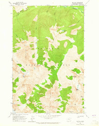
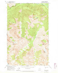
Editions of this 1963 Mt Lyall Map
3 editions found
Other maps of this area

1902 · Stehekin
USGS Topo · 1:125,000

1904 · Stehekin
USGS Topo · 1:125,000

1944 · Holden
USGS Topo · 1:62,500

1944 · Lucerne
USGS Topo · 1:62,500

1949 · Lucerne
USGS Topo · 1:62,500

1949 · Holden
USGS Topo · 1:62,500

1955 · Concrete
USGS Topo · 1:250,000

1958 · Concrete
USGS Topo · 1:250,000

1962 · Concrete
USGS Topo · 1:250,000

1963 · Mc Gregor Mtn
USGS Topo · 1:24,000