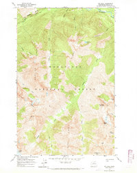
1963 Map of Mt Lyall
USGS Topo · Published 1969About this map
The Cascade Crest Trail traverses the high ridges of the Wenatchee National Forest in this 1960s study of Chelan County. This landscape is defined by its verticality, where the Stehekin River flows through the northeast corner, fed by numerous drainages like Agnes Creek and Company Creek. The map documents a glaciated environment, specifically marking the Company Glacier beneath the slopes of Mt Lyall and Lyall Ridge. Mountaineers and backcountry researchers will find detailed topography of prominent summits, including Tupshin Peak, White Goat Mountain, and Devore Peak. The presence of Battalion Lake and Lake Marie suggests the remote basins of the high Cascades, while Agnes Gorge highlights the erosive power of the region's waterways. This edition serves as a precise record of the alpine wilderness before later management changes in the North Cascades.
Find a feature on this map
28 named features on this map. Tap any name to fly to it.
Don’t see what you’re looking for? This feature index may not catch every label — zoom into the map to look around manually.
Map Details
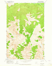
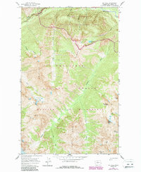
Editions of this 1963 Mt Lyall Map
3 editions found
Other maps of this area

1902 · Stehekin
USGS Topo · 1:125,000

1904 · Stehekin
USGS Topo · 1:125,000

1944 · Holden
USGS Topo · 1:62,500

1944 · Lucerne
USGS Topo · 1:62,500

1949 · Lucerne
USGS Topo · 1:62,500

1949 · Holden
USGS Topo · 1:62,500

1955 · Concrete
USGS Topo · 1:250,000

1958 · Concrete
USGS Topo · 1:250,000

1962 · Concrete
USGS Topo · 1:250,000

1963 · Mc Gregor Mtn
USGS Topo · 1:24,000