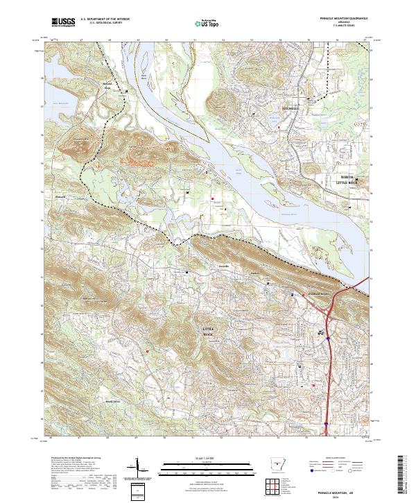
2024 Map of Pinnacle Mountain
USGS Topo · Published 2024About this map
Pinnacle Mtn serves as the dominant topographical anchor for this reach of the Arkansas River, where the high ground of the Fulk Mountains and Shinall Mtn rises sharply from the riverbanks. The landscape is defined by the confluence of the Maumelle River and the Little Maumelle River, creating a complex network of waterways including Rector Chute and Rector Brake. The map captures the suburban expansion of Maumelle and North Little Rock into the surrounding hills, contrasted with established rural settlements like Natural Steps and Pinnacle. Genealogists will find a high concentration of small burial sites such as Stuman Cem, Grimmette Cem, and Chambers Cem, reflecting the area's deep family roots before modern development. Recreational corridors, notably the Ouachita National Recreation Trl, wind through the terrain, connecting the peaks to the river valley.
Find a feature on this map
148 named features on this map. Tap any name to fly to it.
Don’t see what you’re looking for? This feature index may not catch every label — zoom into the map to look around manually.
Map Details
Editions of this 2024 Pinnacle Mountain Map
This is the sole edition of this map. No revisions or reprints were ever made.
Other maps of this area

1890 · Benton
USGS Topo · 1:125,000

1891 · Little Rock
USGS Topo · 1:125,000

1893 · Little Rock
USGS Topo · 1:125,000

1894 · Benton
USGS Topo · 1:125,000

1935 · Little Rock
USGS Topo · 1:24,000

1935 · North Little Rock
USGS Topo · 1:24,000

1935 · Alexander
USGS Topo · 1:48,000

1938 · Benton
USGS Topo · 1:48,000

1941 · Alexander
USGS Topo · 1:62,500

1943 · Pinnacle Mtn
USGS Topo · 1:31,680