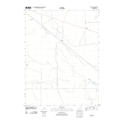
2010 Map of Pinneo
USGS Topo · Published 2010About this map
Pinneo occupies a central position on this Washington County landscape, which is defined by a sparse but deliberate network of agricultural and energy-related infrastructure. The winding course of Camp Creek provides the primary natural relief across the high plains, as it meanders southward through the center of the sheet. The area’s ranching heritage is evidenced by the specific naming of water sources such as the Old Black Tank Windmill and the Segelke Windmills, landmarks that were historically essential for livestock in this semi-arid region.
Find a feature on this map
22 named features on this map. Tap any name to fly to it.
Don’t see what you’re looking for? This feature index may not catch every label — zoom into the map to look around manually.
Map Details
Editions of this 2010 Pinneo Map
This is the sole edition of this map. No revisions or reprints were ever made.
Other maps of this area

1951 · Merino SW
USGS Topo · 1:24,000

1951 · Brush East
USGS Topo · 1:24,000

1951 · Merino SE
USGS Topo · 1:24,000

1954 · Sterling
USGS Topo · 1:250,000

1958 · Sterling
USGS Topo · 1:250,000

1965 · Gary
USGS Topo · 1:24,000

1965 · Miller Ranch
USGS Topo · 1:24,000

1971 · Brush East
USGS Topo · 1:24,000

1973 · Rago
USGS Topo · 1:24,000

1973 · Fremont Butte
USGS Topo · 1:24,000