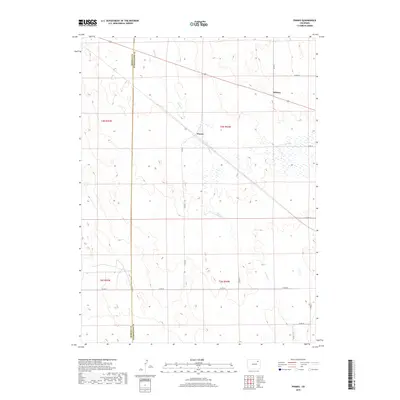
2019 Map of Pinneo
USGS Topo · Published 2019About this map
Pinneo serves as a central point on this 2019 survey, situated along the diagonal path of the regional rail line. The landscape is defined by the ephemeral winding of Camp Cr and a vast network of section roads that divide the plains of eastern Colorado. This map captures the administrative division where the Morgan Co line meets Washington Co, providing a clear view of the rural settlement pattern in this agricultural corridor. Small clusters like Midway highlight the sparse population distribution, where life is organized around specific county road intersections such as Co Rd 46 and Co Rd 44. The presence of numerous wetlands and depressions across the terrain suggests a delicate drainage system that fluctuates with the seasons, impacting the local geography and road placement.
Find a feature on this map
20 named features on this map. Tap any name to fly to it.
Don’t see what you’re looking for? This feature index may not catch every label — zoom into the map to look around manually.
Map Details
Editions of this 2019 Pinneo Map
This is the sole edition of this map. No revisions or reprints were ever made.
Other maps of this area

1951 · Merino SW
USGS Topo · 1:24,000

1951 · Brush East
USGS Topo · 1:24,000

1951 · Merino SE
USGS Topo · 1:24,000

1954 · Sterling
USGS Topo · 1:250,000

1958 · Sterling
USGS Topo · 1:250,000

1965 · Gary
USGS Topo · 1:24,000

1965 · Miller Ranch
USGS Topo · 1:24,000

1971 · Brush East
USGS Topo · 1:24,000

1973 · Rago
USGS Topo · 1:24,000

1973 · Fremont Butte
USGS Topo · 1:24,000